


Guthook's PCT: Northern California app for iPhone and iPad
Developer: Atlas Guides DE, Inc.
First release : 26 Mar 2012
App size: 10.62 Mb
**This app is no longer being maintained. Please download Guthooks PCT Guide instead: https://itunes.apple.com/us/app/guthooks-pacific-crest-trail/id843792262?mt=8 **
Take the information of a guidebook and map set for the Pacific Crest Trail in a simple and easy to use app for your iPhone or iPod Touch. Guthooks Guide to the Pacific Crest Trail is a tool that no hiker on the Pacific Crest (day hiker or thru-hiker) should be without.
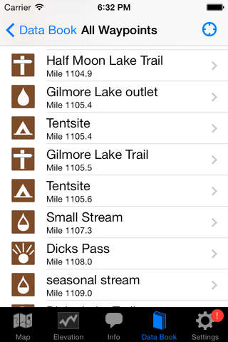
The app shows your location on a map of the PCT, along with the trail itself, and hundreds of waypoints. If youre searching for a particular location, simply search the list of waypoints by trail section, by popular locations, or by name. Dont want to use your Internet connection or GPS? No problem. Hundreds of waypoints have attached photos, so you can get a sense of where you are by matching up the apps photos with what you see on the trail.
The Northern California Section covers 605 miles from Echo Lake, near Lake Tahoe, to the California/Oregon border. Highlights include the Desolation Wilderness, part of the Tahoe Rim Trail, Lassen Volcanic National Park, the Trinity Alps Wilderness, and the Marble Mountain Wilderness. With over 1000 waypoints and 550 photos, Guthooks Guide is an invaluable tool for Pacific Crest Trail hikers.